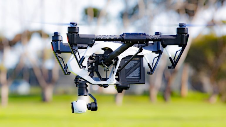
After earthquakes or gas explosions, victims must be found within a very short time frame in order to save lives. So far, mainly tracking dogs have been used for this task. Unfortunately, however, the dogs also encounter their stress limits in large disaster scenarios. Could drones possibly be a useful alternative?
contagt and its partners try to answer this question in the research project FOUNT². The concept consists of multiple components to help rescue workers on the ground: Firstly, a drone (unmanned aerial vehicle, UAV) provides a quick overview of the debris field and maps the terrain simultaneously in 3D. Secondly, a special bio-radar is installed on the drone. It can detect life signs by the slightest movements of breast baskets of survivors. Thirdly, a mobile software solution aggregates the collected data, and helps rescue crews to plan their mission and to perform the rescue in a timely manner.
Shaping the future
Sounds like science fiction, doesn’t it? Remember the surveying probes in the space epic “Prometheus” – just like that you have to imagine the drones. Obviously, this is a very ambitious project in which contagt will take care of the software part and will ensures a high usability of the demonstrator to be developed. To this end, we are constantly looking for testers who provide their expertise and feedback. Anyone who is involved in the fire brigade or rescue services and who wants to contribute to the project can of course contact us at any time. We would be happy to hear from you!
FOUNT² is funded by the Federal Ministry of Education and Research (BMBF). Further project information is available here.