On October 24th, we conducted our third Mapathon as part of the research project ‘OD2Guide ScaleUp’. The event took place on the premises of the Kunstareal in Munich.
Generating Open Data
Similar to the previous Mapathons, we once again mapped barriers and support services for people with disabilities onto a map. The collected data will be published as open data after the project concludes and can be used for accessible wayfinding. Possible applications include mobile solutions that make it easier for blind and visually impaired individuals to navigate while on the go.
The Kunstareal venue is located in the heart of Munich and is one of Europe’s most important cultural sites, housing museums and universities. Spanning an area of 500 x 500 meters, visitors encounter a unique blend of art, culture, and knowledge. The Kunstareal operators already utilize a solution developed by contagt, allowing visitors to navigate the entire area between buildings. Additionally, they can access content such as photos and audio files.
New Insights
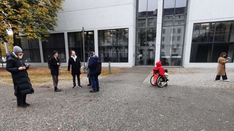
After a brief introduction, Mapathon participants – individuals with and without disabilities – split into two groups and ventured outdoors to explore the Kunstareal together and collect data. Simultaneously, the usability of the prototype developed by contagt was tested.
In the nature of a research project, new potentials are often discovered. Participants provided feedback that additional options related to barriers and support services would be desirable. For instance, individuals with hearing impairments have various needs that could also be addressed. We will expand the prototype accordingly. A heartfelt thank you to all participants for their valuable ideas!
Throughout the project, additional Mapathon formats are planned. Furthermore, the research aims to explore what motivates people to contribute to such surveys of open data. The research project will continue until mid-2024.