As part of the research project “OD2Guide ScaleUp” funded by mFUND, another Mapathon took place in early August, this time at the premises of the Berufsförderungswerk Würzburg (Vocational Training Center Würzburg).
Focus on Visual Impairment
The goal of this mapping event was to collaboratively document barriers and assistance resources, especially for blind and visually impaired individuals in the vicinity of the Berufsförderungswerk. This effort aimed to create open data that could be used for navigation purposes. A mobile application is being developed to help visually impaired and disabled individuals navigate public transportation more effectively.
The Berufsförderungswerk (BFW) Würzburg serves as a regional competence center for vocational education, primarily catering to adults who are blind or visually impaired. A significant portion of the BFW Würzburg’s trainees were employed prior to their visual impairment. Due to illnesses or accidents, they are no longer able to continue in their previous occupations. With the support of BFW Würzburg, these individuals are gaining new vocational perspectives.
Mapping in Small Groups
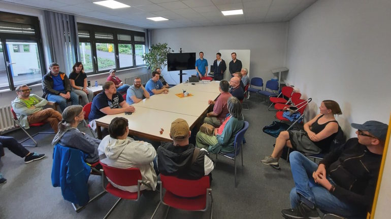
After addressing initial inquiries, Mapathon participants – both individuals with and without disabilities – formed small groups and ventured outdoors to explore the surroundings together. Along the way, they used their smartphones to record barriers and support services. Simultaneously, they tested the usability of the app prototype developed by contagt among blind users. In addition to generating new data on accessibility barriers, numerous valuable ideas and suggestions for the app emerged. A heartfelt thank you to all participants!
Throughout the course of the research project, several more Mapathons are planned at various locations. Furthermore, the project aims to explore what motivates people to contribute to such data collection efforts. The research project will continue until 2024.