As part of the mFUND-funded research project “OD2Guide ScaleUp”, the first contagt Mapathon took place on November 11th, 2022 in the premises of the RNV in Mannheim.
Mapping in small groups
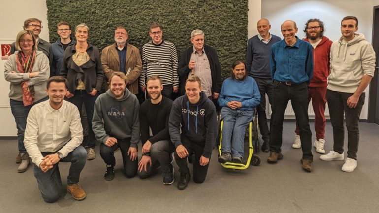
The event began with the host RNV welcoming the 20 attendees. Then Johannes Britsch (contagt GmbH) presented the background of the research project. After the first questions had been answered, the participants – both people with and without disabilities – came together in small groups and started mapping together. At the end, the participants were able to exchange ideas over pizza and drinks.
In the spirit of accessibility
The aim of the Mapathon was to enter barriers and accommodations for people with disabilities in the entire Rhein-Neckar region on a map, which generated open data that can be used for routing. With a mobile app blind and disabled people should be able to better find their way around public transit.
Wait a minute! Mapping with blind people, you say? How does that work? With this project we are trying to simplify mobile mapping so that everyone can use it. The problem is, while blind people frequently use OpenStreetMap in everyday life, they are unable to edit or enter data themselves, such as marking barriers. That’s where contagt comes in.
First of five Mapathons
This was the first event of its kind for contagt. In the course of the research project, four more Mapathons are planned at different locations in order to collect as much own-sourced data as possible. In addition, research on what exactly motivates people to contribute to such a creation of open data will be conducted. The research project will run until 2024.